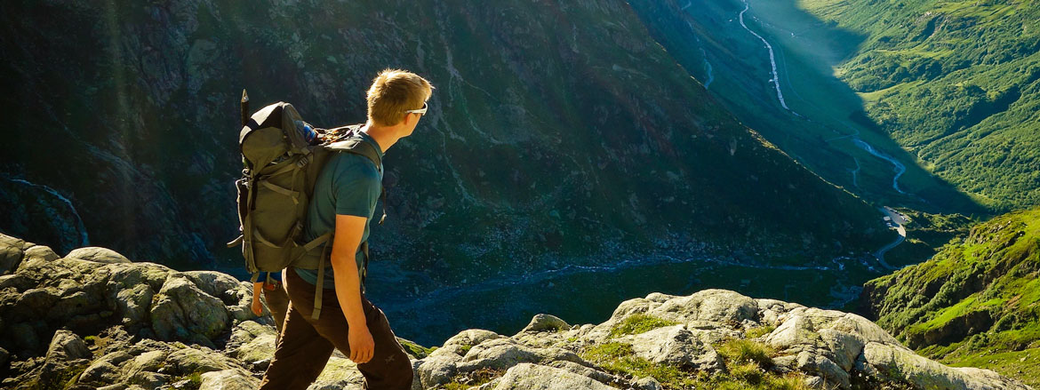
Hikes Engelberg
On our guided day hikes in the Engelberg Valley, we will not only take you safely to the summit and back again; we will also be happy to share our knowledge about flora & fauna, history of the region and what else we know about the mountains.
Engelberg – Flühmatt – Spiessboden – Engelberg
Best view of Engelberg
Right from the start, at the stairs of the monastery, it becomes clear that the ascent is steep. After all, the 300 metres in altitude are climbed over a distance of only 1.5 kilometres. But when the trees clear, you step onto the viewing platform of the Flühmatt restaurant and enjoy this unique view, it is clear that it was worth it. There is no further ascent and you follow the mountain roads to Spiessboden, where a wonderful barbecue area invites you to take a break. The few deckchairs are very popular on nice days and quickly occupied.
On the way down, it is worth taking a look at the Schwand chapel before we approach Engelberg again through the forest.
| Level | intermediate |
| Distance | 9 km |
| Elevation | 470 Hm |
| Duration | 3 h |
| Price | CHF 320.- Maximal 12 Personen pro Guide |
Panorama trail Brunni
Grandiose view of the Mt. Hahnen
The gondola ride to Ristis takes the bulk of the altitude gain. Afterwards, the Panorama Trail leads partly on asphalt, partly on a natural road past a multitude of large swings. Always with Engelberg’s impressive local mountain, the Hahnen, to the side. At the top, the Herzlisee lake and the Brunnihütte hut invite you to linger.
Route: Ristis – Rigidalalp – Brunnihütte
| Level | easy |
| Distance | 4 km |
| Elevation | 260 Hm |
| Duration | 1.25 h |
Tips:
– The trail from Ristis to Rigidal is suitable for children’s carriages.
– The panorama trail is a pleasure both as an ascent and a descent.
– Use the Brunni chairlift for the second part.
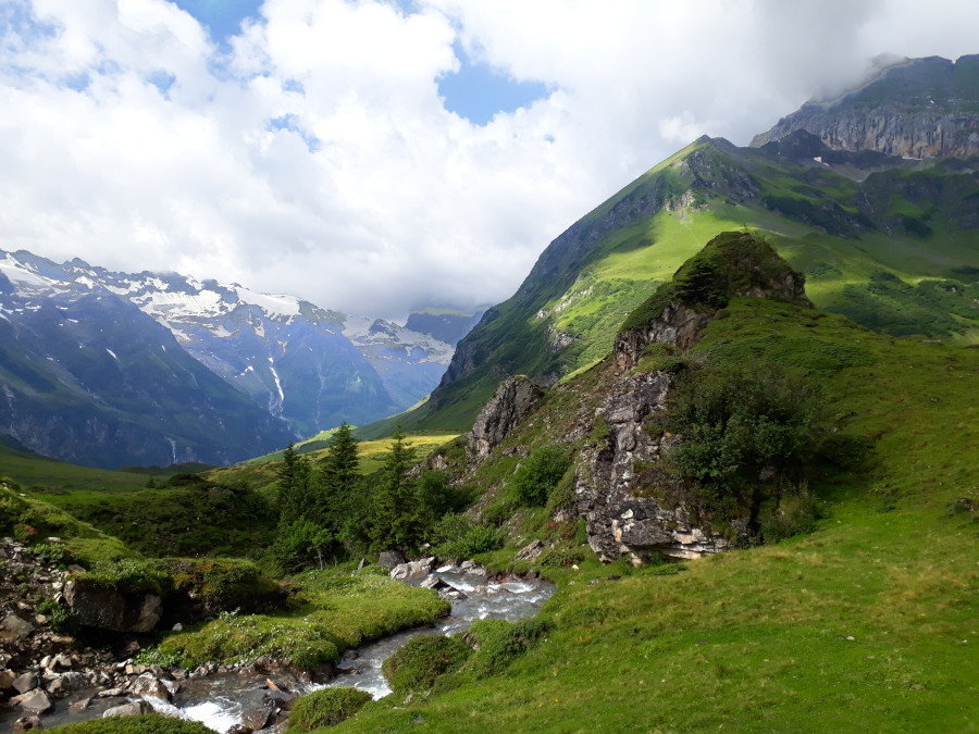
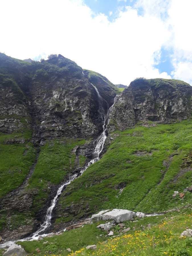
Theme hike – Water
Finding and understanding the source of energy
The path along the Engelberger Aa deep in the Engelberg Valley is full of surprises. Small waterfalls, large habitats and cute sources of the inflows into the great stream leave hikers amazed and wanting to understand more.
Route: Fürenalp valley station – Alpenrösli – Stäfeli – Stäuber (waterfall) – Äbnet – Fürenalp top station
| Level | intermediate |
| Distance | 9 km |
| Elevation | 750 Hm |
| Duration | 4 h |
| Price | CHF 320.- Maximal 12 Personen pro Guide |
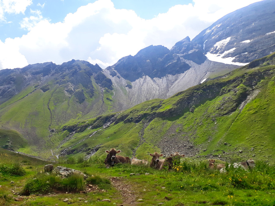
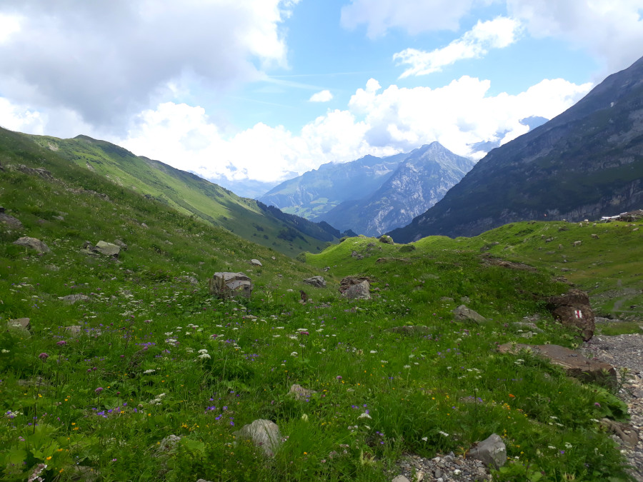
Theme hike – Fauna of the mountain world
Unbelievable what lives in the mountains. Let yourself be fascinated by the animal world in the valley.
The “end of the world” is the beginning of the animal world. Our starting point for the varied panoramic hike. In gentle bends you ascend to the alp “Ober Zieblen” Along the high-level trail to the Fürenalp mountain station you hike amidst the exciting world of mountain fauna
Route: Horbis via Ober Zieblen – Dagenstal to the Fürenalp mountain station.
| Level | intermediate plus |
| Distance | 9 km |
| Elevation | 850 Hm |
| Duration | 4 h |
| Price | CHF 320.- Maximal 12 Personen pro Guide |
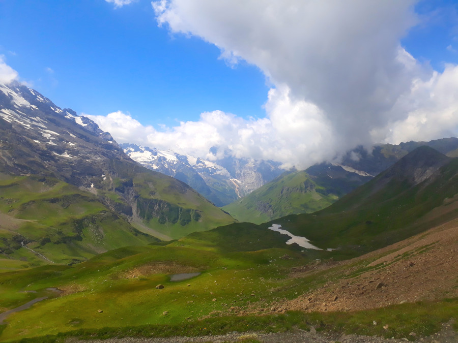
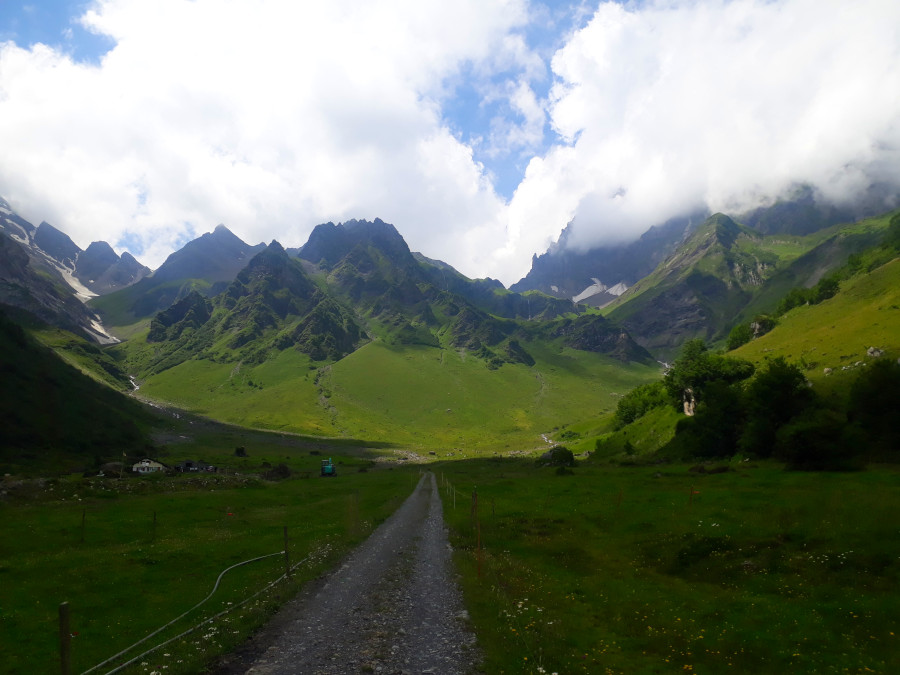
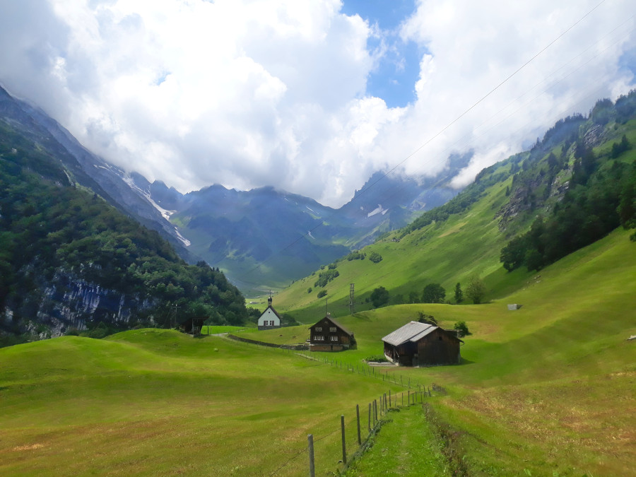
The day tour surrounded by mountains
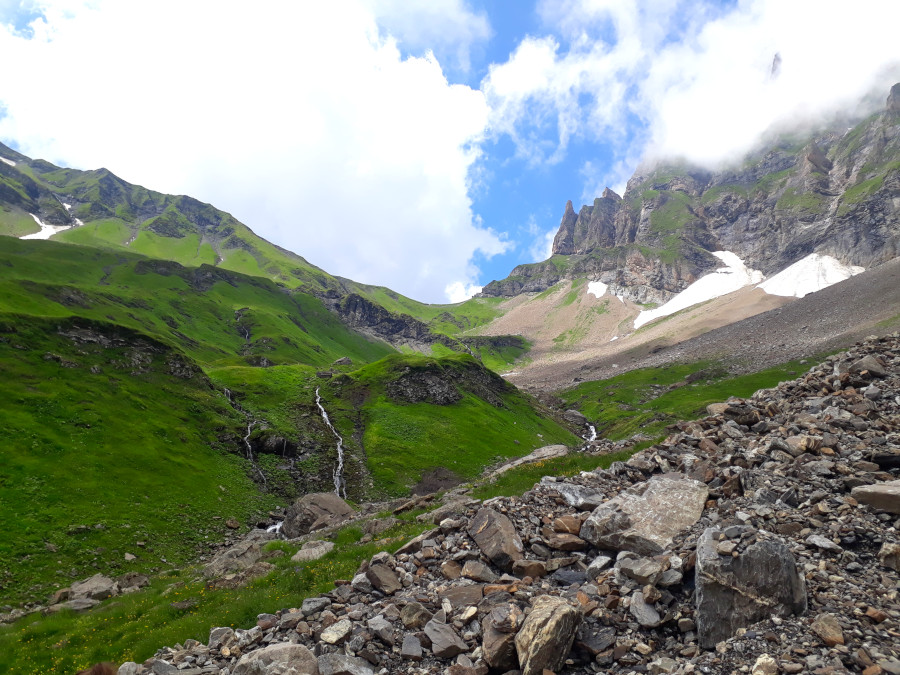
A few metres in altitude can be overcome with the Fürenalp cable car. From the top station, the route first descends a little to the Stäuber waterfall, from where the ascent to the Surenenpass at 2292 metres above sea level, from where you have a heavenly view of the Urner – Reuss valley.
When the sun comes out again after a bit of rain, you are constantly surrounded by waterfalls all along the way. And these can also be found on the descent. Continue along the Via Alpina until you reach the Brüsti gondola station. From here down to Attighausen, from where you can return to Engelberg by bus and train via Stans.